Wildfire Resources
Click on a topic to jump to links relative to that topic below.
Before a Wildfire - During a Wildfire - After a Wildfire
Wildfire News and Info - Fire Weather - Maps - Wildland Fire Data in Google Earth
Arizona Fire Ecology - Wildland Fire - Fire Addapted Community Resources - Smoke and Air Quality
Fire Prevention and Education - Resources for the Media - PIO Resources - State Fire Sites
Register for Emergency Alert Notifications in your County/Community
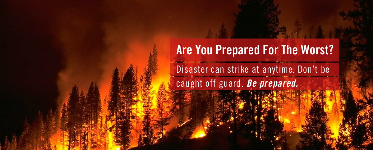
Before A Wildfire
Before A Wildfire resources
Ready, Set, Go! Create a Wildfire Action Plan for Your Home
How can I prepare for Wildland Fire? (PDF brochure)
Wildfire Evacuation Checklist (PDF)
What should I do to Be Ready for Wildfires?
Be Red Cross Ready: Wildfire Safety Checklist
Preparing Your Pets for Emergencies
Surviving a Wildfire in Arizona: Are you prepared?
Protecting Your Finances if a Disaster Strikes: Are you prepared?
Property Casualty Insurance Wildfire Resources
Plan Ahead, Inventory Your Home Before a Wildfire Strikes
Don't Get Caught Without Insurance
Risk of Flooding Increases After Wildfire - Don't Forget Flood Insurance Too
During a Wildfire
During A wildfire Resources
If You Fly, We Can't. Wildfires are a No Drone Zone.
What do I need to do during a wildfire?
Wildfire Evacuation Checklist (PDF)
What should I do if I have to evacuate?
Arizona Emergency Information Network - AZEIN.gov
List yourself as safe and well with Red Cross or search for a loved one
Find evacuation tips and shelter locations with the official Red Cross wildfire app
FEMA App - Receive weather alerts, get safety reminders, locate open shelters, etc
After a Wildfire
After A Wildfire Resources
After Fire: Toolkit for the Southwest
Burned Area Emergency Response (BAER)
Red Cross: Picking up the Pieces After a Disaster
Recovering from Wildfire: A Guide for Arizona's Forest Owners
Arizona Wildfire Insurance Resources
Where can I find resources for helping my family recover from wildfire?
USA.gov Resources For Replacing Vital Documents
IIBHS Guidance for Recovering After a Disaster
FEMA Recover & Rebuild Resources
Small Business Disaster Loan Assistance
Your Emotional and Physical Well-Being
Emotional Support - Disaster Distress Helpline at 1-800-985-5990
Injury prevention after a wildfire
After a Disaster: Steps You Can Take to Cope
Helping children cope with disaster
Safe tips on wildfire ash cleanup
Wildland fire chemical clean-up
Soil Erosion Control After a Wildfire
Private Wells after the Fire Brochure
NRCS: Arizona Wildfire Recovery Tips
NWS: How Flash Flooding Could Change After the Fires
NWS: Taking Action - What to do When the Flash Flooding Occurs
ADWR: Flood Warning and Management Program
Wildfire News And Information
Fire Weather
Maps
Map Resources
Wildland Fire Data in Google Earth
You need to have Google Earth open on your computer before opening these layers. To install Google Earth visit: http://google.com/earth
To View Wildfire Data in Google Earth on an iPhone or iPad: Use the Safari Browser to go to one of links below, click on the KML file you want, then Open in Google Earth.
Arizona Fire Ecology
Living with Wildfire in Arizona (Education Materials)
Wildland Fire
Wildland Fire Resources
What is the Incident Command System (ICS)?
What is a fire weather watch or a red flag warning?
How can I become a firefighter?
Where can I find a glossary of wildland fire terminology?
What do the different fire danger levels mean?
Where can I find historical fire statistics for the Southwest?
What are some of the most memorable wildland fires nationally?
National Cohesive Wildland Fire Management Strategy & Success Stories
Four Forest Restoration Initiative (4FRI)
Four Forest Restoration Initiative: Prescribed Burns and Radiation Factsheet
Resources for Building a Fire Adapted Home and Community
Resources For Building a Fire Adapted home and Community
How to Get Firewise Community Recognition
How to Become a Firewise Assessor or Advisor
Community Wildfire Protection Plans
Home Fire Safety Information from Firewise
Wildfire: Preventing Home Ignitions (video)
Living with Wildfire: Homeowners' Firewise Guide for Arizona
Fire Adapted Communities Learning Network
How Fuel Treatments Saved Homes from the 2011 Wallow Fire
Find your community and see current wildfire activity on the Firewise Mapper!
Smoke and Air Quality
Smoke and Air Quality Resources
ADHS Health Effects of Smoke from Wildfires
AIRNOW How to protect your family from the health effects of smoke
ADEQ: Smoke and Your Health Brochure
ADEQ Smoke Management Resources
ADEQ Smoke Management on Prescribed Fires
ADEQ Portable Particulate Monitors
Interagency Real Time Smoke Monitoring
Is it Smoky Outside? Protect Your Health. Use the 5-3-1 Visibility Method
NOAA Hazard Mapping System Smoke & Fire Product
Wildfire Smoke A Guide for Public Health Officials
Wildland Fire Air Quality Response Program
CDC - Protect Yourself from Wildfire Smoke
USDA-FS Wildfire Smoke and Covid-19 Frequently Asked Questions Fact Sheet
How to Help
Please confirm needs by contacting the organization of your choice before taking action.
Helping Others After a Disaster
- Help keep firefighters safe by creating defensible space around your home.
- Creating defensible space around your home is absolutely the BEST thing you can do to help firefighters. Learn how at http://firewise.org.
- Post thank you banners / signs in the community and on social media.
- This is a great morale booster for firefighters after a long shift!
- Write thank you notes to firefighters.
- Drop them off at the incident command post so they can be posted or shared.
- Write thank you letters to firefighters families.
- Put them in blank, stamped envelopes. After briefings or after shifts, firefighters can address letters to parents, kids, spouses, etc.
Consider a donation to your local Fire Department and/or support
National Donations Management Network
National Voluntary Organizations Active in Disaster
Fire Prevention and Education Topics
Fire Prevention and Education Resources
National Symbols Catalog - Smokey Bear Fire Prevention Materials
Smokey Bear's National Web Site
Grand Canyon Fire Ecology on the Rim Middle School / High School Curriculum
Fire Ecology Resource Management Education Unit (grades 5-6)
Firewise Firecamp (grades 6-8)
FireWorks curriculum featuring ponderosa, lodgepole, and whitebark pine forests (Grades 1-10)
Natural Inquirer – On Top of Old Smokey (grades 5+)
Natural Inquirer – Wildland Fire Edition (grades 5+)
Natural Inquirer – Wildland Fire Edition 2 (grades 5+)
Project Learning Tree – Fire Education (pre-K-12)
Resources for the Media
Resources for the Media
- Interagency Media Guidelines for Wildland Fires
- Media Access Laws - uploaded file *
- Media Access to Forest Service Aircraft - uploaded file *
- Historical fire statistics for the Southwest
- National Wildland Fire Statistics
- Producer’s Guide: Featuring Wildland Fire on Television and Film
- Reports and Investigations
Public Service Announcements
- Fire Adapted Communities Wildfire Preparedness PSAs
- Firewise PSAs & B-Roll
- Smokey Bear Wildfire Prevention PSAs
- CDC Wildfire PSAs
Photos and Videos
- AZEIN wildland fire videos
- NIFC Wildland Fire Photos
- NIFC Wldland Fire Videos
- USDA Forest Service Flickr Collection
- Flickr: NIFC - Wildland Fire Photos
- Flickr: Apache-Sitgreaves National Forests' Photostream
- Flickr: Kaibab National Forest's Photostream
- Flickr: Coconino National Forest's Photostream
- Flickr: Grand Canyon NPS' Photostream
- Flickr: BLM Arizona - Fire and Aviation Photos
- Flickr: 2011 Wallow Fire Photos by Kari Greer / US Forest Service
- Flickr: 2012 Gladiator Fire Photos by Kari Greer / US Forest Service
Public Information Officer (PIO) Resources
Other State's WildFire Sites
Arizona Department of Forestry and Fire Management
California Department of Forestry and Fire Protection
New Mexico State Forestry Fire Page
New Mexico Interagency Fire Information
Utah DNR, Division of Forestry, Fire and State Lands